It’s time to put software licensing on your terms
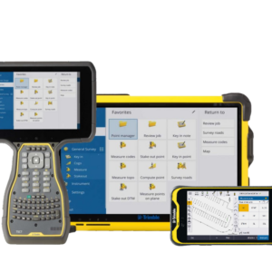
With the new subscription-based licensing plans for Trimble Access, we’re putting you at the center of it all. With lower upfront costs, access to more capabilities and the latest software updates you can now scale your license to suit your requirements.

Subscription Choice
Offerings positioned to suit your workflows. Upgrades available to expand as you need.

Latest Releases
Your license is always current so you can utilize the latest enhancements and updates.

Flexible Terms
Buy annually, then upgrade, add seats or opt out at any time.

Online License Management
Assign users and generate usage reports to optimize your licenses.

Trimble ID-Based
Each TBC user has their own Trimble ID, each Trimble ID has its own TBC seat.

Cloud Hosting
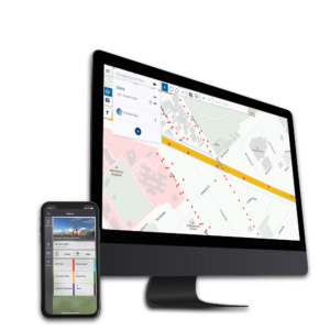
Take your TBC license wherever you go – online or offline – no need to connect to a license server or plug in a dongle.
Choose your Trimble Access Subscription Base Plan
GNSS ONLY
Survey field software for support of survey workflows with GNSS Receivers only
- Support for GNSS Receiver based workflows in surveying
- Feature coding, including measure codes for repetitive tasks
- Graphical COGO routines for calculating points and features
- Graphical staking of points, lines, arcs, and alignments
GENERAL SURVEY
Survey field software for support of survey workflows with GNSS Receivers and Optical Instruments
- Feature coding, including measure codes for repetitive tasks
- Graphical COGO routines for calculating points and features
- Graphical staking of points, lines, arcs, and alignments
- Topo surveys and scan data
- Continuous display of maps or video and forms side by side
- Trimble VISION™ enabled sensor control for integrated surveying workflows
- Integrated Surveying™ technology combining optical, scanning, and GNSS data, plus images, in the same job
Choose your Application
The Trimble Access software suite offers surveyors and geospatial professionals a range of specialized field applications designed to make fieldwork easier. Improve your competitive edge by selecting the applications that best suit the work that you do.


