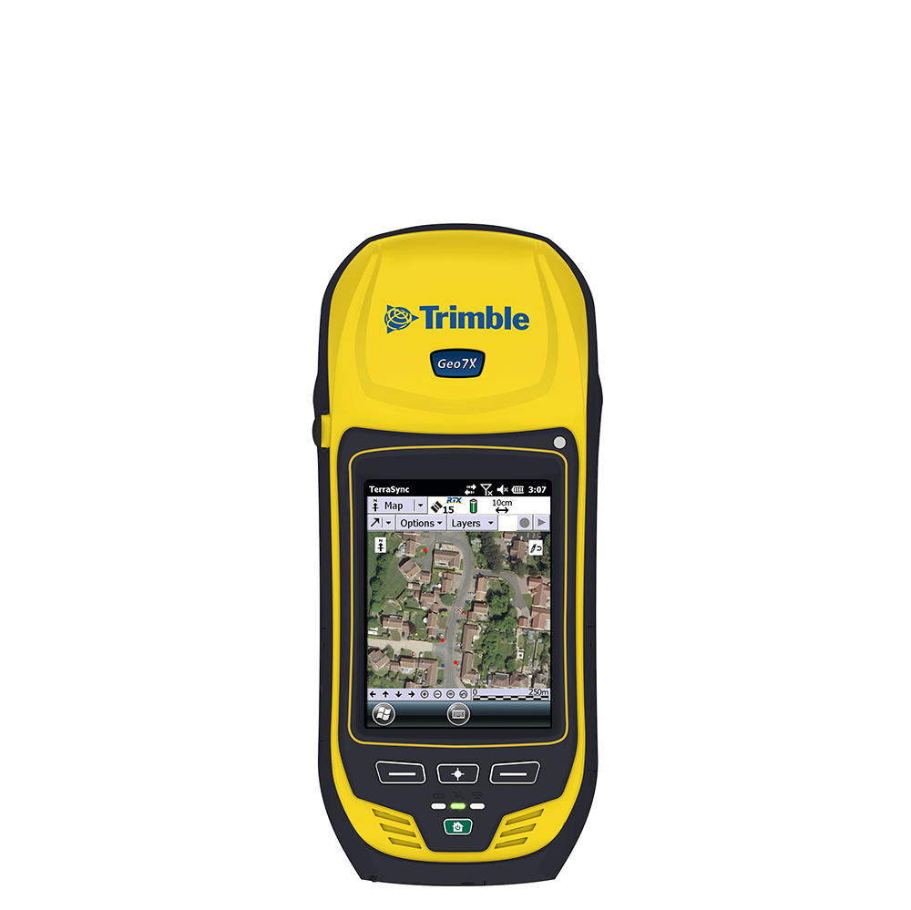
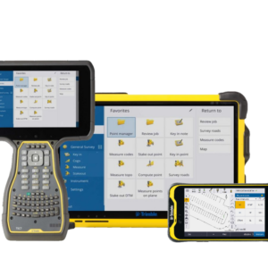
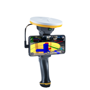
The Trimble® TerraSync™ software is designed for fast and efficient field GIS data collection and maintenance. Paired with a supported Trimble GNSS receiver and field computer, it’s a powerful system for the collection of high quality feature and position data for GIS update and maintenance.
Key Features
- Software designed for efficient field GIS data collection and maintenance
- Intelligent data capture based on conditional attribute collection requirements
- Customizable user interface data to simplify the field worker experience
- Robust support for vector or raster map backgrounds for verification of field data
- Seamless GNSS control in the field for high quality position data
- Runs on a wide range of Trimble handheld and tablet field computers
- H-Star data collection for high accuracy with compatible Trimble receivers and handhelds
- Real-time and postprocessed GLONASS support with compatible Trimble receivers and handhelds
- Data collection for Trimble DeltaPhase processing provides improved postprocessed accuracy
Software Options
Standard Edition
Standard edition enables simple and efficient workflows to capture high quality data quickly and easily.
Paired with the Trimble® Juno® 5 handheld, it offers a cost-effective solution for collecting high quality GIS data.

Professional Edition
Professional edition expands on the Standard edition with a data maintenance workflow which enables you to take existing GIS data out to the field for update, ensuring your GIS has the most accurate and up-to-date information.
Combined with the Trimble Geo 7X with rangefinder, you’ll achieve increased productivity and higher data quality for all your collection projects, no matter the environment.

Centimeter Edition
For data collection projects which require high accuracy positioning, Centimeter edition allows connection to RTK models of the Trimble Geo 7X handheld and the Trimble R2 GNSS receiver.

GIS Software Solutions
GPS Pathfinder Office Software
Trimble® GPS Pathfinder® Office software is a powerful and easy-to-use software package of GNSS postprocessing tools, designed to develop GIS information that is consistent, reliable, and accurate from GNSS data collected in the field.
Positions Desktop Add-in
Trimble Positions™ Desktop add-in offers a seamless integration into the Esri® environment for Esri users who utilize TerraSync as their field software solution. It allows streamlined data collection straight into their GIS.


