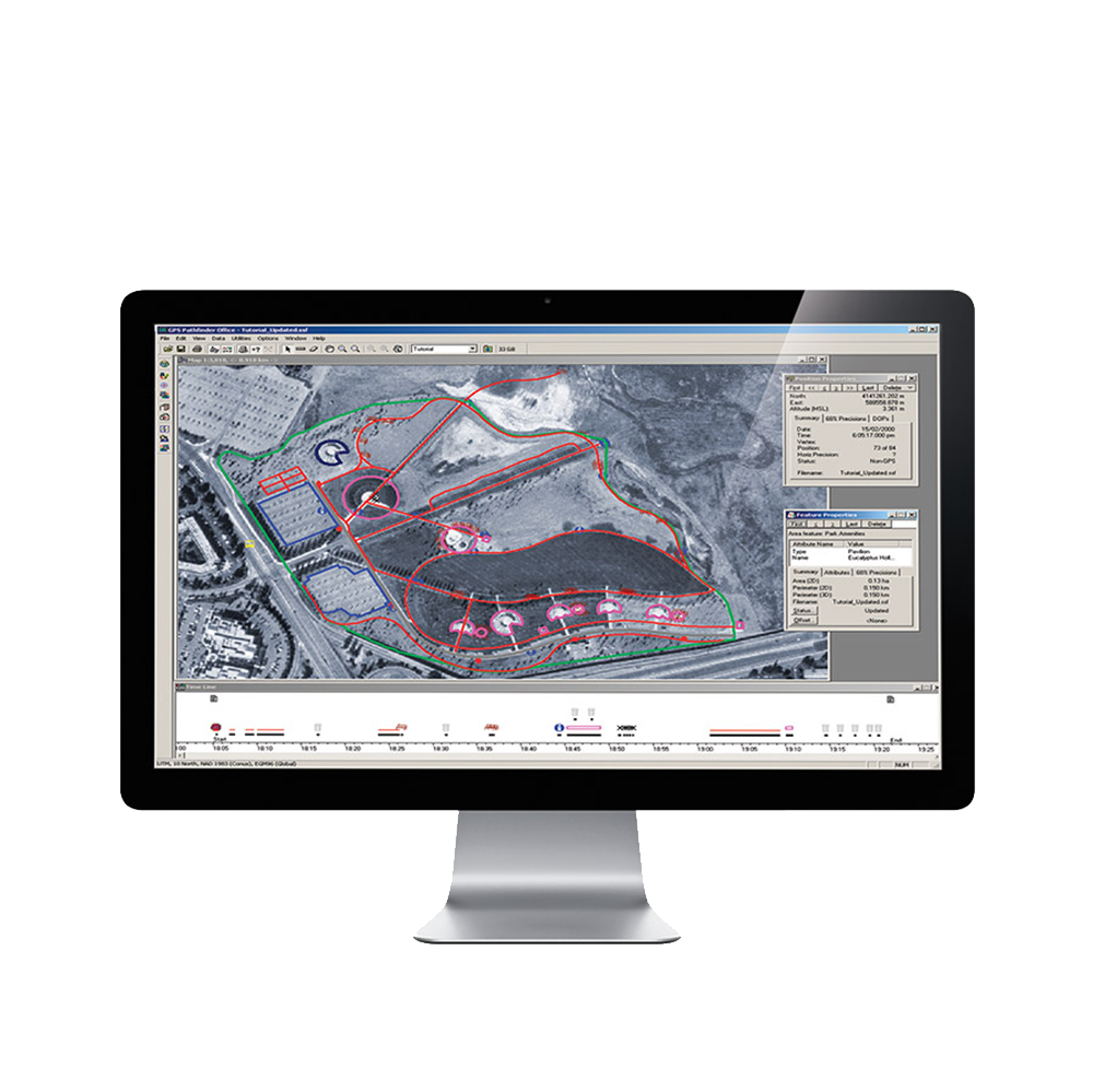
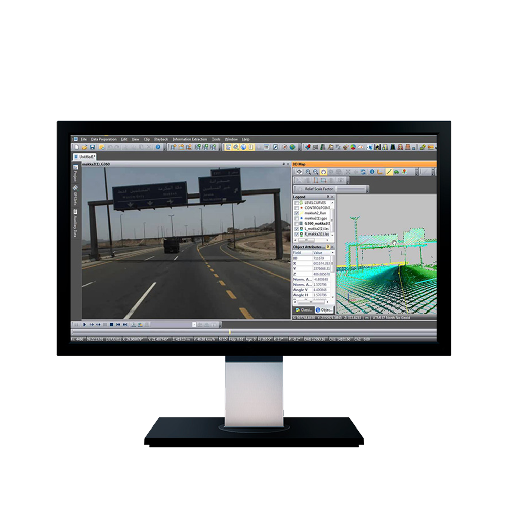
Inpho® office software is designed to precisely transform aerial images into consistent and accurate point clouds and surface models, orthophoto mosaics and digitized 3D features using state-of-the-art photogrammetry and remote sensing techniques.
Inpho® office software is designed to precisely transform aerial images into consistent and accurate point clouds and surface models, orthophoto mosaics and digitized 3D features using state-of-the-art photogrammetry and remote sensing techniques.
The modules can be used as a complete system or as individual components which integrate easily into any photogrammetric production workflow using 3rd party products. The portfolio also includes point-cloud and terrain modeling for massive data as well as airborne LiDAR scanning processing completed by automated city-modeling software.
Inpho is compatible with state-of-the-art photogrammetric camera systems from Trimble, Leica, Vexcel, IGI, Phaseone or others.
Geo-Referencing
Market-leading full automatic aerial triangulation including complete camera calibration, robust bundle-adjustment and thorough quality assessment for image blocks of any size, overlap or geometry.
Easily solve the most challenging projects with highest precision. Work with the most flexible aerial triangulation software that stands-out as a synonym for quality.

Geo-Imaging
Our clients world-wide rely on the seamless quality of radiometrically and geometrically perfect orthomosaics from digital and scanned analogue imagery.
Modules Available:
OrthoMaster
Professional software for high-quality ortho-rectification of digital aerial frames, pushbroom or satellite imagery generating true orthophotos for both single images and complete image blocks. Trimble OrthoMaster offers the right quality and performance for your dedicated application. Use classic rectification methods to generate classic orthos or true orthos or, alternatively create precise true ortho images directly from a resampled colorized 3D point cloud.
OrthoVista
OrthoVista is well known in the world of photogrammetry as a market-leading software for creating orthomosaics with perfect homogeneity, even for multi- channel imagery. Adjust and combine thousands of orthophotos from any source into perfect, seamless, color-balanced and geometrically correct orthomosaics without any necessary subdivision.
MATCH-3DX
True Orthophoto capability ensures that each image pixel is directly related to the surface height, simplifying mapping and the overlay of GIS data, especially for urban mapping applications.

Geo-Capturing
Point cloud generation and mapping
Transform image blocks into dense point clouds, GIS-ready 3D attributes, features and models.
Modules Available:
MATCH-3DX
Semi Global Matching (SGM) techniques enable photogrammetrists to reach a new level in quality and precision for the generation of large scale dense point clouds. Meshes enable non-professionals to easily navigate and understand the real world environment.
MATCH-T DSM
Automatically create digital terrain models, surface models and dense point clouds from aerial image blocks or satellite image blocks.
Summit Evolution
Digital photogrammetric stereo workstation to collect 3D features directly into ArcGIS, AutoCAD, Global Mapper or MicroStation.

Geo-Modeling
Surface and Terrain Modeling
Comprehensive modeling of unlimited laser scanning or image matching point clouds including filtering, visualization, editing and analysis.
Modules Available:
DTMaster
Powerful point cloud and LiDAR data editing, refining and basic CAD/GIS mapping module suited for massive volumes of airborne data.
SCOP++
Efficiently process hundreds of millions of DTM points with unsurpassed quality of interpolation, filtering, management, analysis, application and visualization.
Building Generator and Building Add-on
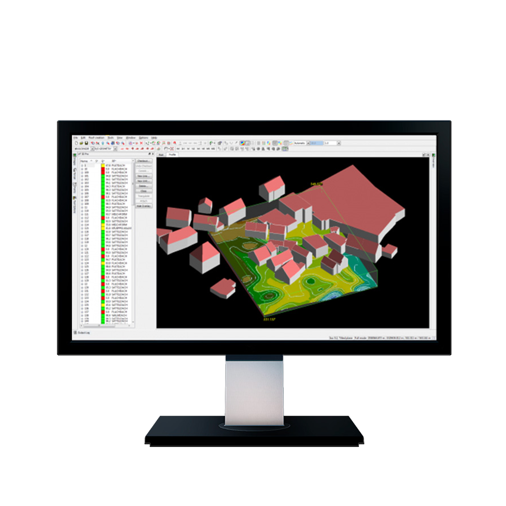
3D City modeling become increasingly important with modern GIS services. Leverage the enormous density of airborne LiDAR or point clouds from aerial image matching for a full automatic extraction of building objects.


